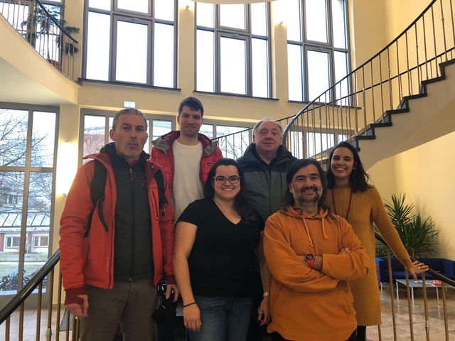
In December 2019 Hernan Ugalde and Bill Morris were hosted by the Helmholtz Institute Freiberg for Resource Technology (HIF) for one week of research and collaboration on integration and advanced processing of airborne geophysical data including Supracon’s Full Tensor Magnetic Gradiometry (FTMG) data generated last year over the German and Finnish sites.
Hernan and Bill first met INFACT project coordinator Leila Ajjabou during SAGA 2019, a geophysical conference held in Durban, South Africa, last November, where they learned about the opportunities to collaborate with the project.
What caught your attention about the project?
Hernan Ugalde:
“This project is a rare opportunity where one can have access to multiple generations of geophysical surveying over several well-controlled geological scenarios. For us, beyond the different data types, what caught our attention was the Full Tensor Magnetic Gradiometry data (FTMG). This is a new technology that is not fully understood yet. Having access to other “standard” geophysical surveys as well as geological models allows us to push the envelope on what is possible from the FTMG data, and calibrate with a known model.”
What, in your opinion, is the greatest value of this type of initiative?
Hernan Ugalde:
“Good natural calibration sites where one can compare different tools are much needed. In Canada, the Geological Survey has a calibration site for testing equipment, but its purpose is mostly to ensure that the systems are measuring in the right range. The INFACT sites are way more than that since they provide natural, complex geological sites where we can compare not only data but interpretation and models, against the known geology.”
Bill Morris:
“Technology has advanced rapidly over the past ten years. Yet, not all methodologies are applicable to every mineral exploration setting. Some are more appropriate than others in specific situations. In some instances with limited data availability, it has not been possible to determine what are the benefits of new approaches. Geophysics is where we attempt to outline geological processes using physical responses. Key to this is an understanding of physical signatures generated by mineralogical changes.
The multiple INFACT sites allow us to address these concerns. They cover multiple mineral deposit settings with different ore minerals, different ore zone geometries, with well-controlled geological information. When operating in developed areas, mining companies are tasked with locating new resources while minimising expenditures, while limiting nuisance for any nearby residents. What tools offer the best return on investment? What technique can be applied with the least environmental impact? These questions can be addressed by INFACT style approach.”
What do you think this collaboration can bring to the exploration community?
Hernan Ugalde:
“As we mentioned above, calibration and testing are critical. Especially nowadays that semi-automated tools for interpretation and inverting data without geological constraints seem to be preferred. Having access to these sites and data will allow the companies and service providers to test their systems and models against real geological scenarios. If someone claims that a tool or set of tools can discern geology at 1km depth, now we have sites where we can test those claims.”
Bill Morris:
“Exploration today requires knowledge of the field geologist, the geochemist, the structural geologist, the remote sensor, and the geophysicist. Each participant brings their own expertise to the search. Working as a team it is possible to develop workflows that bring together the contributions from each of the researchers. INFACT has shown us that we can contribute to the joint effort, yet it has also taught us that we need input from our partners. This is a strong message for the exploration community. While some new deposits will continue to be found by a lone prospector the likelihood of detecting buried “hidden” deposits requires a team effort.”
Current status of work
The work so far has involved the use of advanced tensor data processing routines provided by Intrepid, which allowed us to make use of the complete tensor dataset, instead of looking at independent components computed from standard scalar data. Some advantages of this workflow include:
- Better quality grids
- Reduced grid cell size for a similar line spacing
- Better quality interpretation products
Another innovative part of the work is the estimation of remanent magnetisation. This is being approached from multiple angles:
- Modelling of the total field and tensor magnetic data along sections
- Paleomagnetic analysis for the area
- Integration of the above with susceptibility logs
- Integration of tensor the FTMG data with other airborne datasets
The inputs provided by Hernan Ugalde and Bill Morris on best practices for the use of joint airborne geophysical datasets for mineral exploration are key to the project. The INFACT consortium looks forward to pursuing this collaboration and find innovative ways to combine different non-invasive techniques to better identify exploration targets.
Content provided by Hernan Ugalde and Bill Morris